The Mawson Trail App
No mobile signal or internet needed
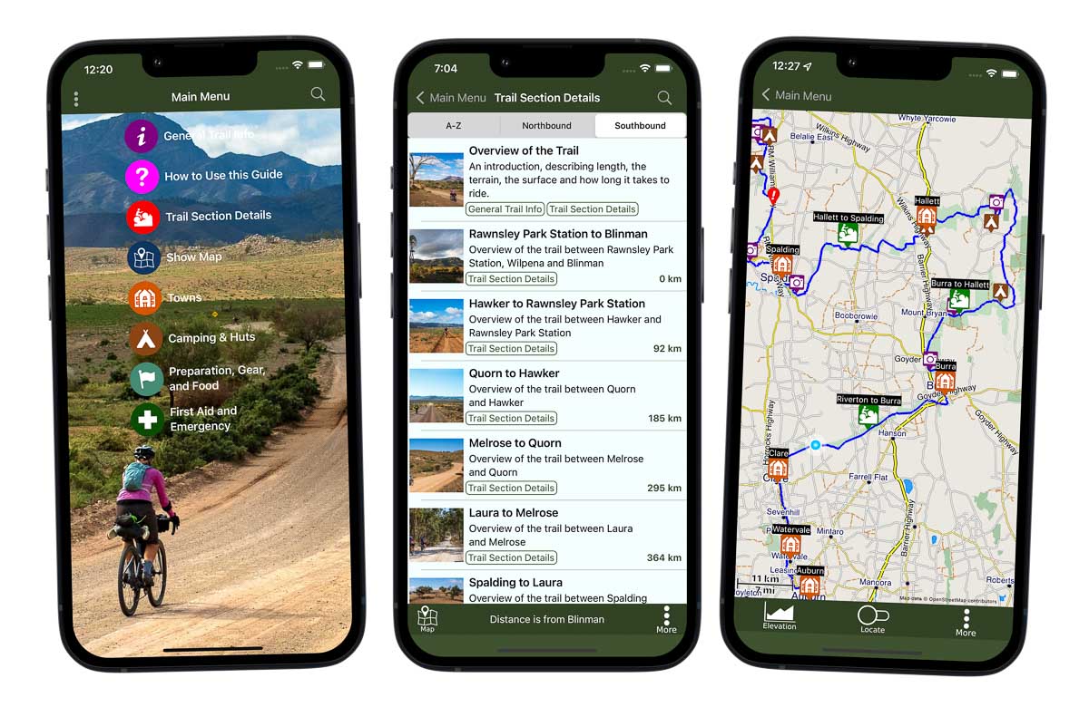
Use the guide to plan and ride the Mawson Trail. It works everywhere, even in places without mobile phone reception or Internet access. Put your phone in airplane mode to maximise its battery life.
In addition to being a navigation aid, it’s a full guidebook on a phone, with information on places to stay, places to visit, when to ride, points of interest and tips and best practices.
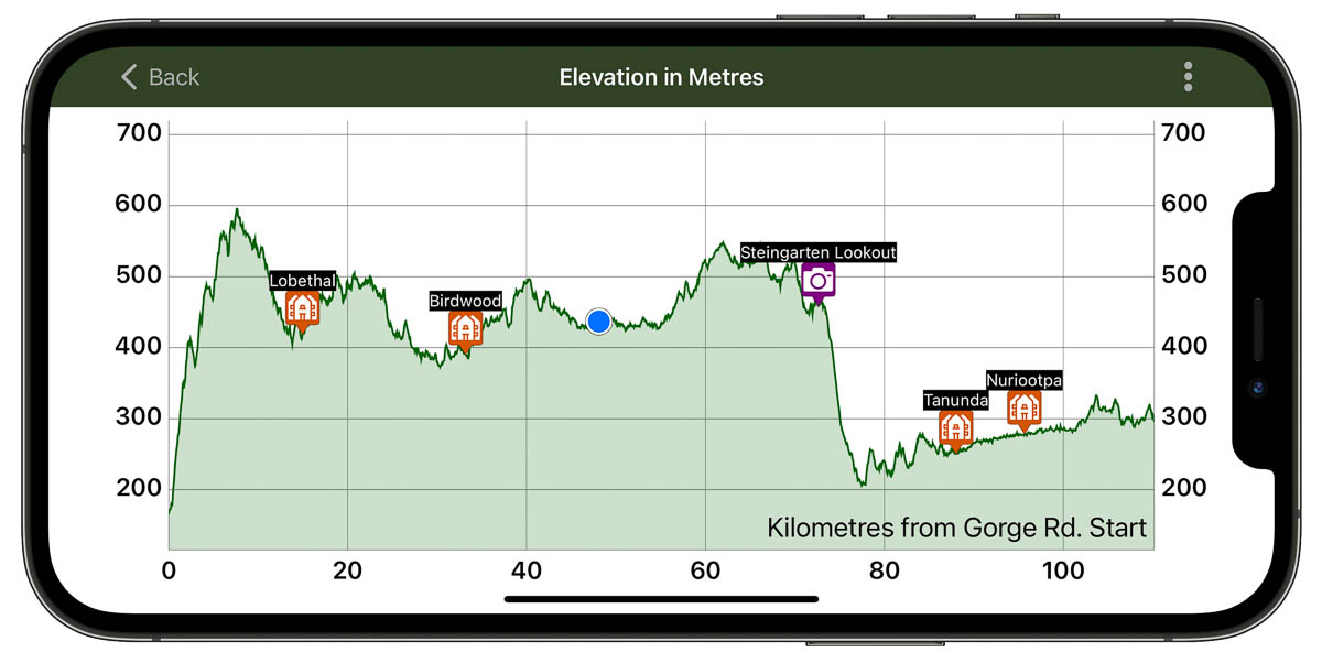
Interactive elevation graph!
The GPS on your phone will show your location (blue dot). Pinch and zoom the graph to show the elevation profile for the day’s ride. See distances between towns and huts.
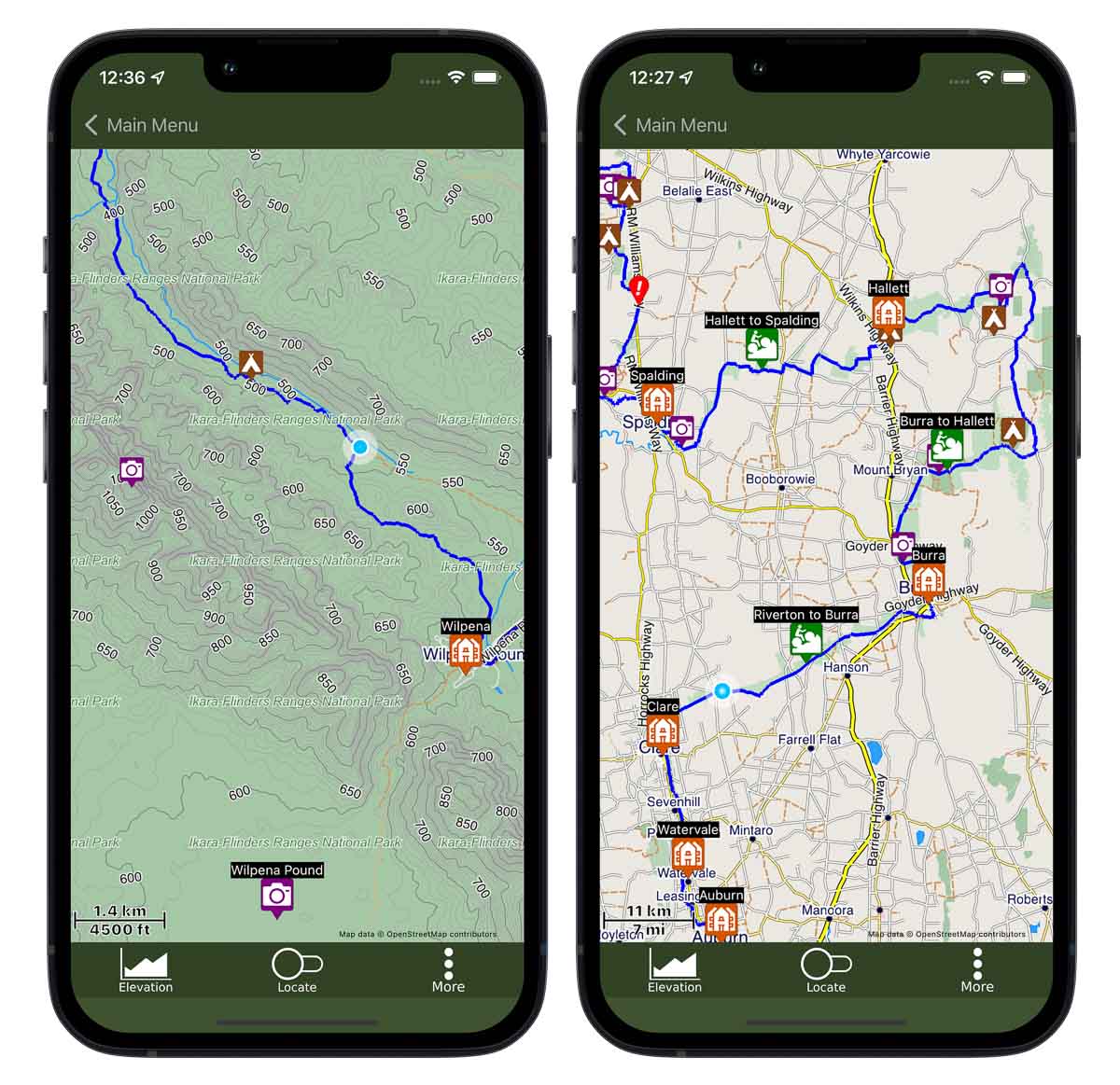
Detailed offline maps
The maps show the Mawson Trail, show where you are, and are marked up with huts, camping areas and many points of interest. Maps are tuned for cyclists–they have a tonne of detail including bush tracks, off-road paths and contour lines. Tap each icon on the maps for more information.
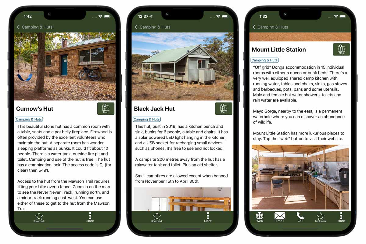
Lots of huts and camping details
If you want to camp, there are lots of huts and station stays to choose from. The App has details on each one, including location and amenities. At least one hut has USB connections for charging your phone!
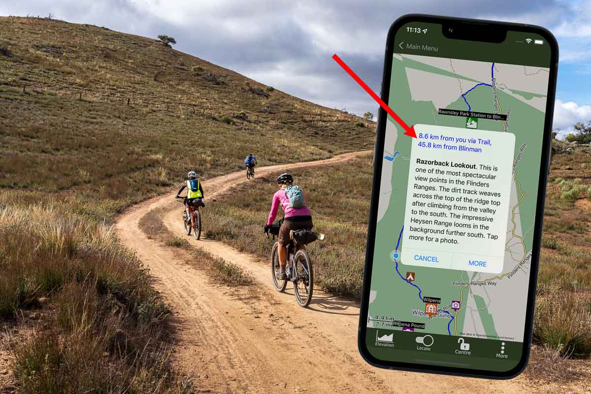
Distance information
When you are on the Mawson Trail, tap any of the icons on the map to see how far away from you it is to that hut, town or point of interest.
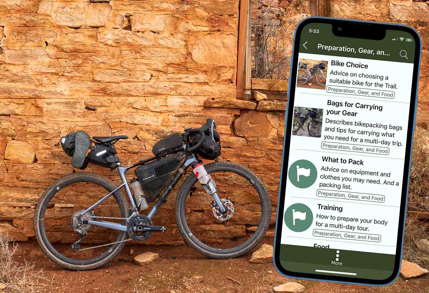
Gear advice and more
There’s lots of useful information on types of bike, various bike-packing bags, things to bring, how to train and food suggestions.
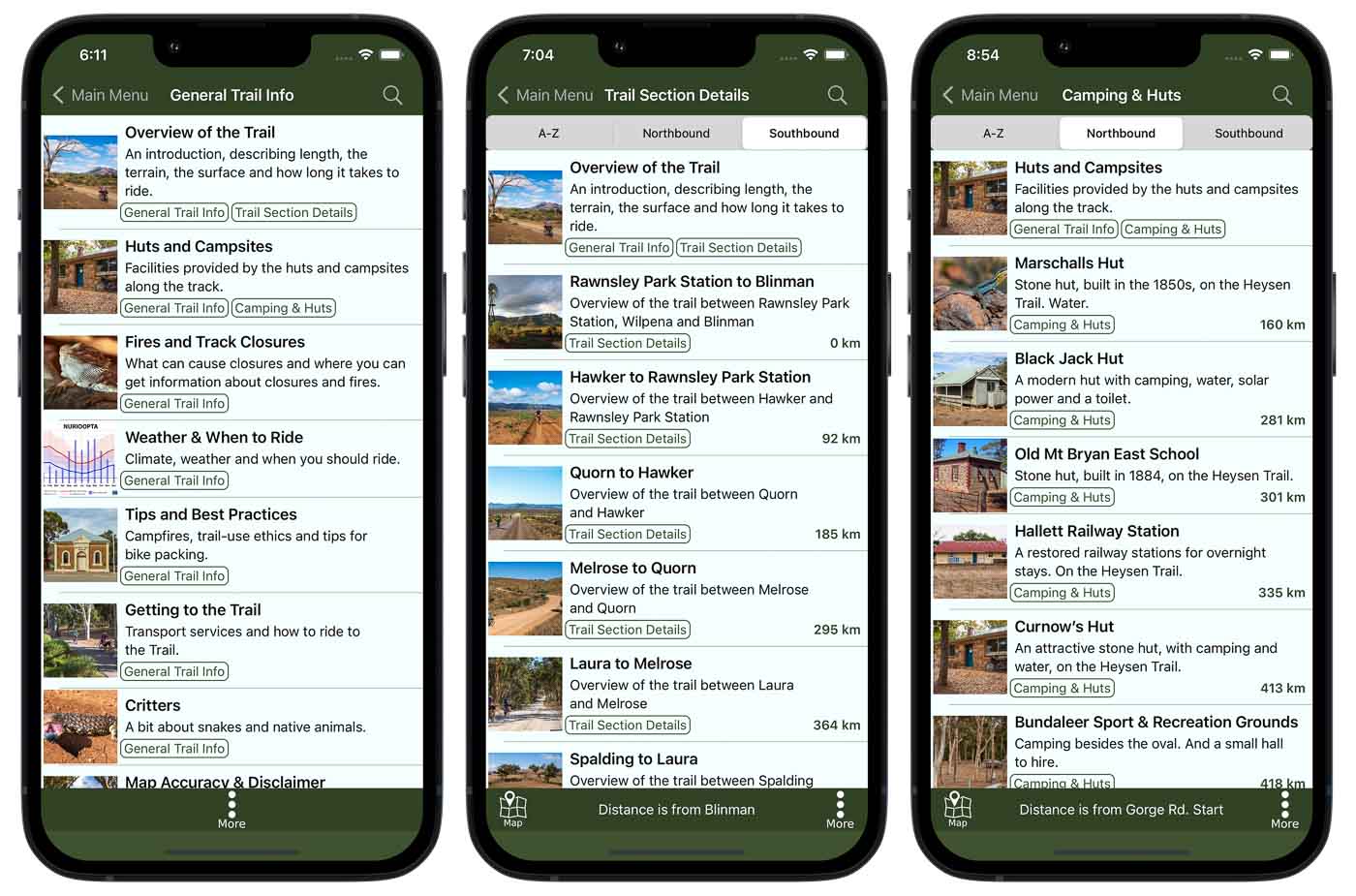
So much useful information for planning and riding!
Details on each track section, accommodation, general track information and tips on using the App.
Recent Posts
-
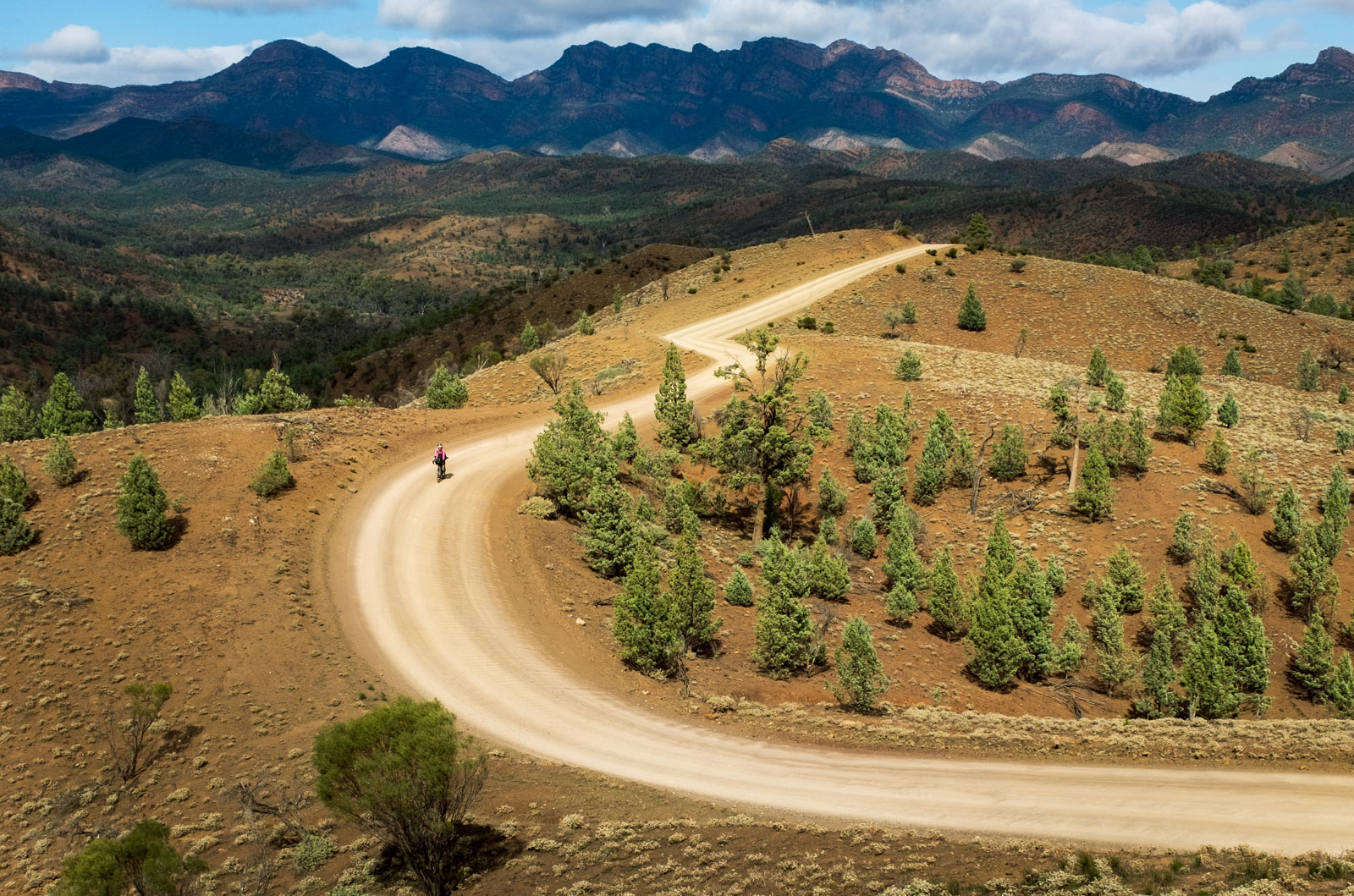
Riding the Mawson Trail in South Australia
19 Oct , 2022
Contact us
Feedback, comments and questions are always welcome.
Email: info@nymmbl.com
Address: Dunsborough Western Australia 6281

